Sea Turtle Tracking
Why Tagging Turtles Matters
Since most research conducted on marine turtles has been carried out on nesting beaches and well over 90% of a sea turtle’s life is spent in the water — feeding, mating, migrating and doing whatever else a sea turtle does when no one is watching, we are missing important information that can help us better protect sea turtles. In particular, to adequately protect sea turtles in all their habitats, we must learn more about their migratory patterns, their behavior at sea, where their marine habitats are located, how the turtles use these different habitats, and the migration routes turtles travel between habitats. Research into the behavior and life cycle of marine turtles has taught us that these creatures do not generally nest and feed in the same area. We now know that sea turtles are highly migratory, often traveling hundreds or even thousands of miles between the beaches where they lay their eggs and the foraging (feeding) grounds where they spend much of their time at sea.
Track Our Turtles On Your Device
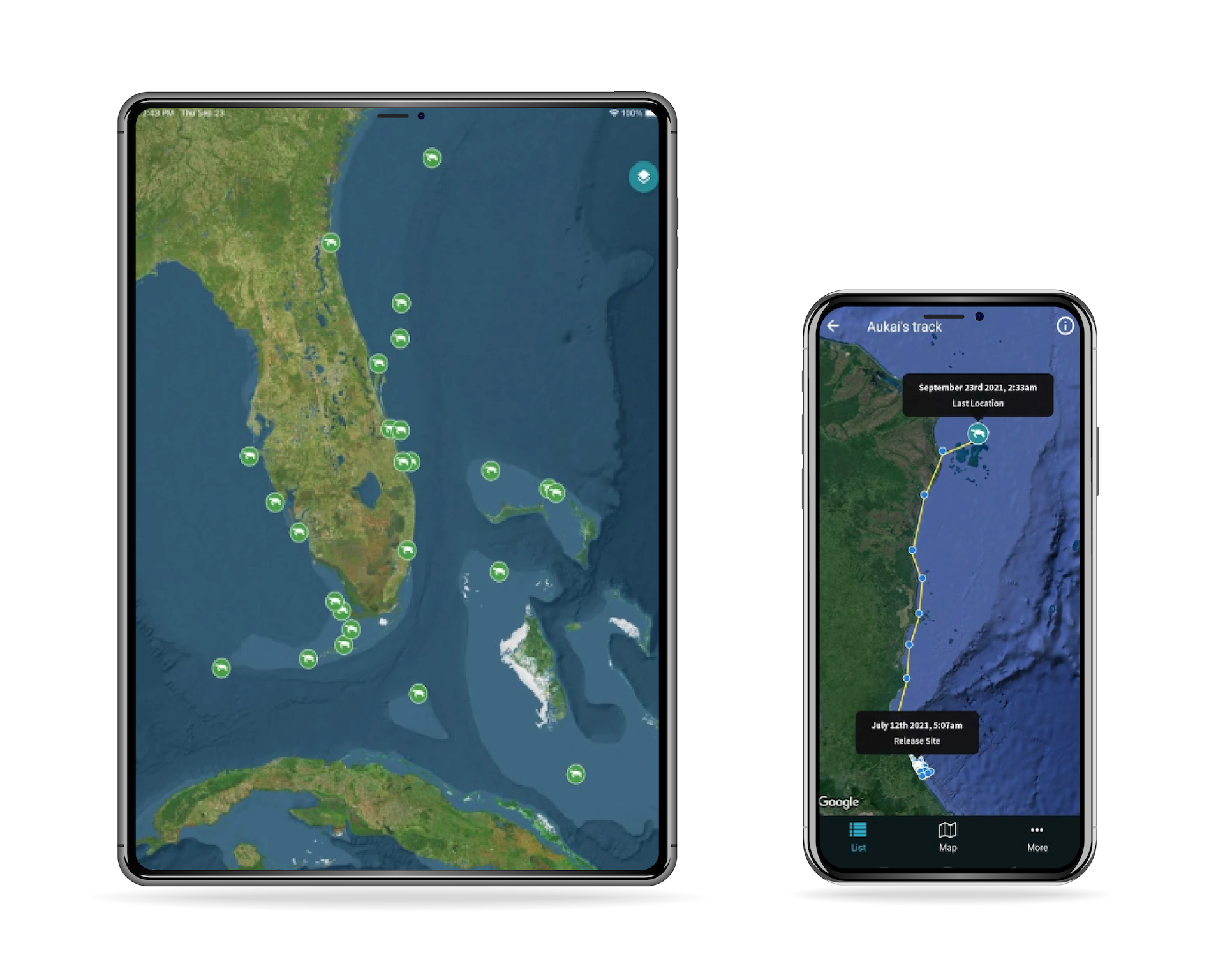
Sea Turtle Conservancy’s (STC) Turtle Tracker App lets you follow the migrations of sea turtles that have been tagged with a satellite tracking device from nesting beaches, in-water research, and rehabilitation centers. Maps are updated as new data become available for active turtles. Follow along as we learn about the movements of sea turtles through our Turtle Tracker App.
Satellite Telemetry
The small, low wattage PTTs attached to the turtles are controlled by a micro-processor which is programmed by a computer before it is attached. The program tells the microprocessor how to store information and when to transmit the information to the satellites. The data received from the turtle’s transmitter comes in the form of digital codes, which must be deciphered. The satellites relay the transmitter data to base stations on Earth. The base stations then relays the data directly to researchers by e-mail.
Polar orbiting satellites are currently used for tracking animals. The satellites are operated by the U.S. National Oceanic and Atmospheric Organization (NOAA) and are the same satellites used to monitor global weather patterns. Attached to these satellites are special instruments operated by a French company, ARGOS CLS. These special instruments are designed to listen for transmitters like those we place on turtles and to determine where those transmitters are located. While such a task would seem simple, it is not. Each satellite circles the earth every 101 minutes and so it is only over any one place on the planet for about 10 minutes. At the equator, this means that the satellites make about 6-8 passes per day for 10 minutes each. For the satellite to determine the location of the transmitter it takes about 3-5 minutes, and the transmitter must be on the surface to be detected. Location error can vary between 50 m and 2.5 km depending on the number of satellites overhead, how long the satellite can detect the transmitter, and the number of messages received from the transmitter. However, turtles rarely remain on the surface for that long, and their surfacing must coincide with multiple satellites passing overhead. Thus, the quality and number of locations received for a turtle can vary greatly from day to day.
Using computer mapping programs, researchers can plot the spatial movements of the turtle, the route they have traveled, where they go to find food, and estimate how fast they are generally swimming. Depending on the detail of the map being used, a researcher can also determine the habitat characteristics at the turtle’s location. The data received from the turtle’s transmitter comes in the form of digital codes, which must be deciphered. The codes allow researchers to determine, with varying degrees of reliability, the latitude and longitude location of the turtle, the number of dives taken during the last 24 hours, the duration of the most recent dive, and the water temperature, among other information.
While viewing the migration maps shown on this site, viewers should be aware that the plotted turtle movements represent the best data available; however, any given location mark may not be 100% accurate. This limitation really doesn’t detract from the overall value of the research. While a particular location point may actually be miles off a given turtle’s actual location, the accumulation of data stills tells us where the turtles are generally moving and where their primary foraging areas are located. Using this information, we can begin to focus conservation efforts where they are most needed.
Still Have Questions?
We have more answers.
Learn more about how satellite tracking works and how you can find specific information for a turtle you are tracking.
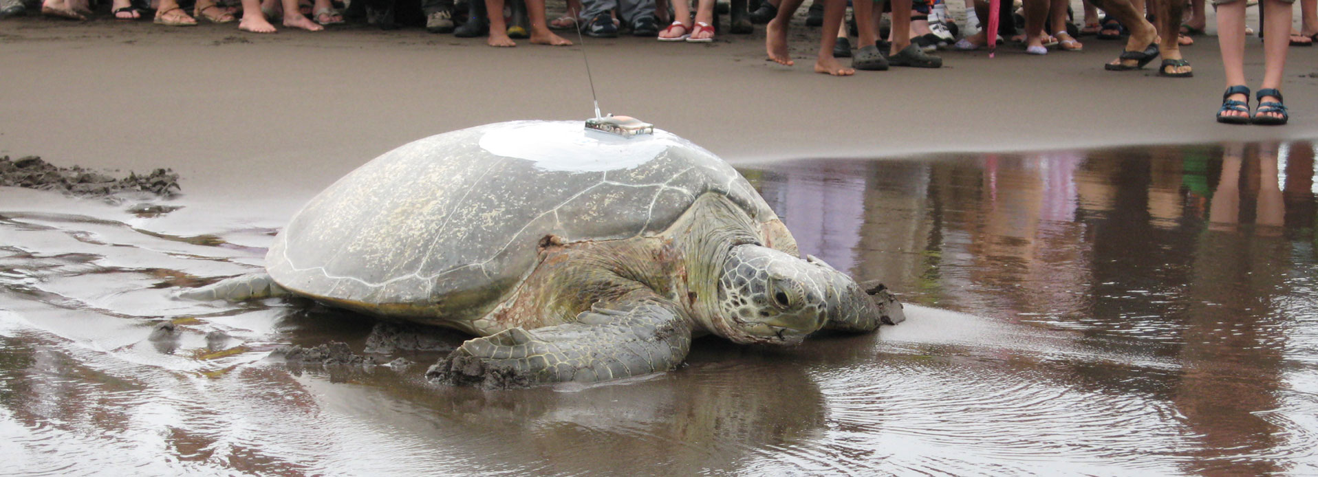
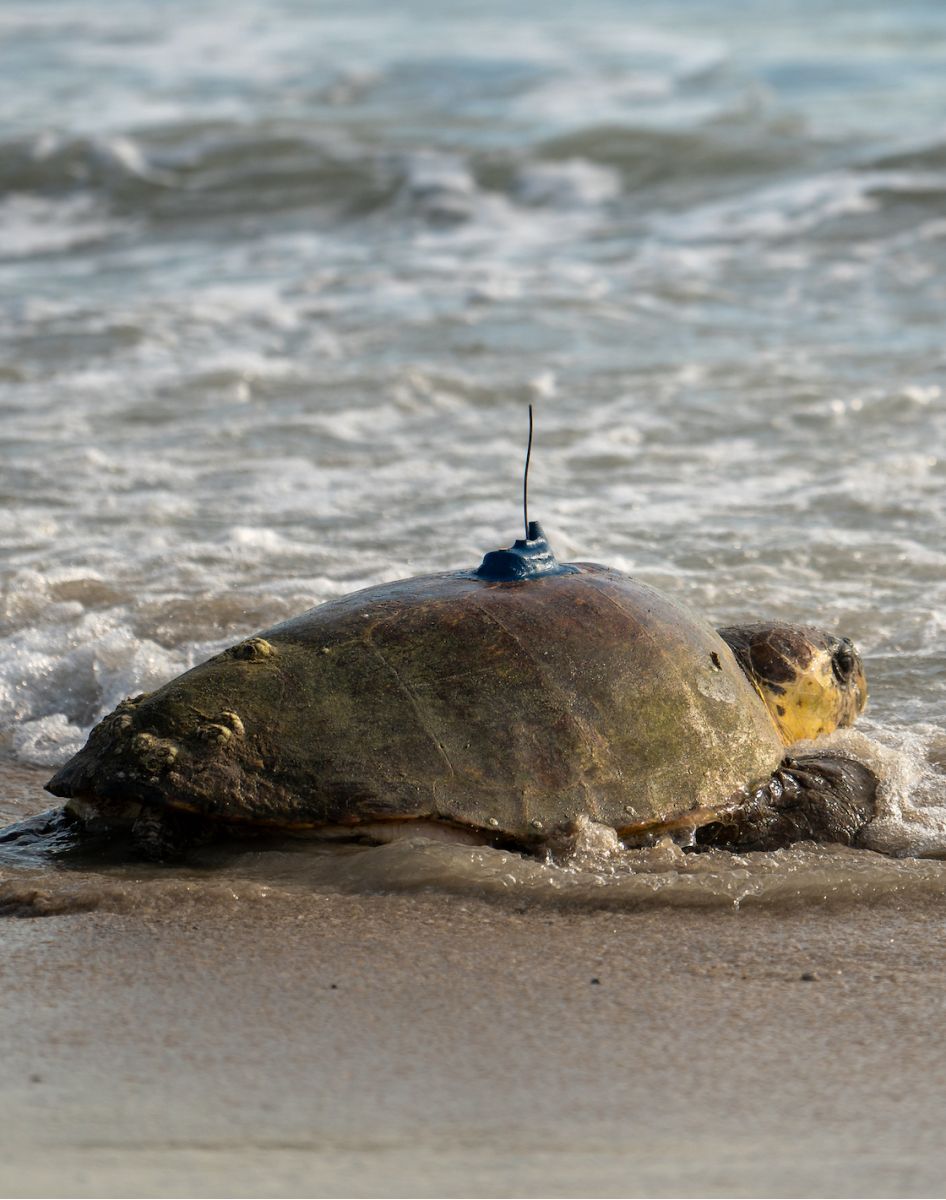
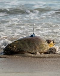
Since most research conducted on marine turtles has been carried out on nesting beaches and well over 90% of a sea turtle’s life is spent in the water — feeding, mating, migrating and doing whatever else a sea turtle does when no one is watching, we are missing important information that can help us better protect sea turtles. In particular, to adequately protect sea turtles in all their habitats, we must learn more about their migratory patterns, their behavior at sea, where their marine habitats are located, how the turtles use these different habitats, and the migration routes turtles travel between habitats. Satellite telemetry (following an object on the earth with the use of orbiting satellites) has advanced to the stage of allowing researchers to track turtles in the open ocean after attaching a Platform Terminal Transmitter (PTT) to the back of a sea turtle.
This is generally a result of a turtle finding a foraging (or feeding) ground. After a nesting season sea turtles migrate to a foraging area. They generally remain in this area until their next nesting season, usually one or two years later. If the location points of the turtle show movements at a closer scale, the large map will have a link to a zoomed in view of the foraging area.
Probably not. No new locations is most likely due to the antenna being damaged. It is also possible that the transmitter has fallen off, algae has grown over the sensors that tell the transmitter to send signals, or the batteries that power the transmitter no longer work. It is possible that the transmitter will start sending signals again, especially if it is a (see next question).
There are many possibilities for the irregularity of positions. The satellite transmitters are not always “on.” The transmitters are programmed so that they are “on” for a set number of hours then “off” for a set number of hours. This helps conserve the batteries which power the unit. In order for a location to be collected, a satellite must be in “view” of the transmitter and the turtle must remain at the surface long enough to give the satellite time to receive a signal from the transmitter. So, several things must happen at the same time for a position to result.
If you were able to name the adopted turtle, then the turtle does not have a satellite transmitter and is not being tracked through the STC web site. All the satellite tracked turtles were already named by the researchers. Your turtle has a metal id flipper tag from STC’s monitoring program in Tortuguero, Costa Rica. STC does not have maps of turtles with only flipper tags because they do not have a satellite transmitter. STC posts sightings of adopted turtles from the beach in Tortuguero, Costa Rica, in STC’s newsletter, the Velador.
While viewing the maps, you should be aware that the plotted turtle movements represent the best data available. Each signal that comes from a turtle’s transmitter carries a code that ranks the reliability of that particular signal. When reliability is high, the latitude and longitude data is usually right on the mark. However, the location data can sometimes be a little “off.” This is primarily a result of the amount of time the satellite is able to receive signals from the transmitter. While a location point may actually be miles off a given turtle’s actual location, the data stills represents where the turtles are generally moving and where their primary foraging areas are located.
Ideally, the batteries in these transmitters can last for 8-10 months, but signals often stop prematurely. Ideas about why this is occurring range from problems from algae growing on the transmitter sensors to turtles knocking the devices off as they wedge themselves under rocks. There have been examples of transmitters lasting only a few weeks, but also examples of transmitters lasting for more than 2 years.
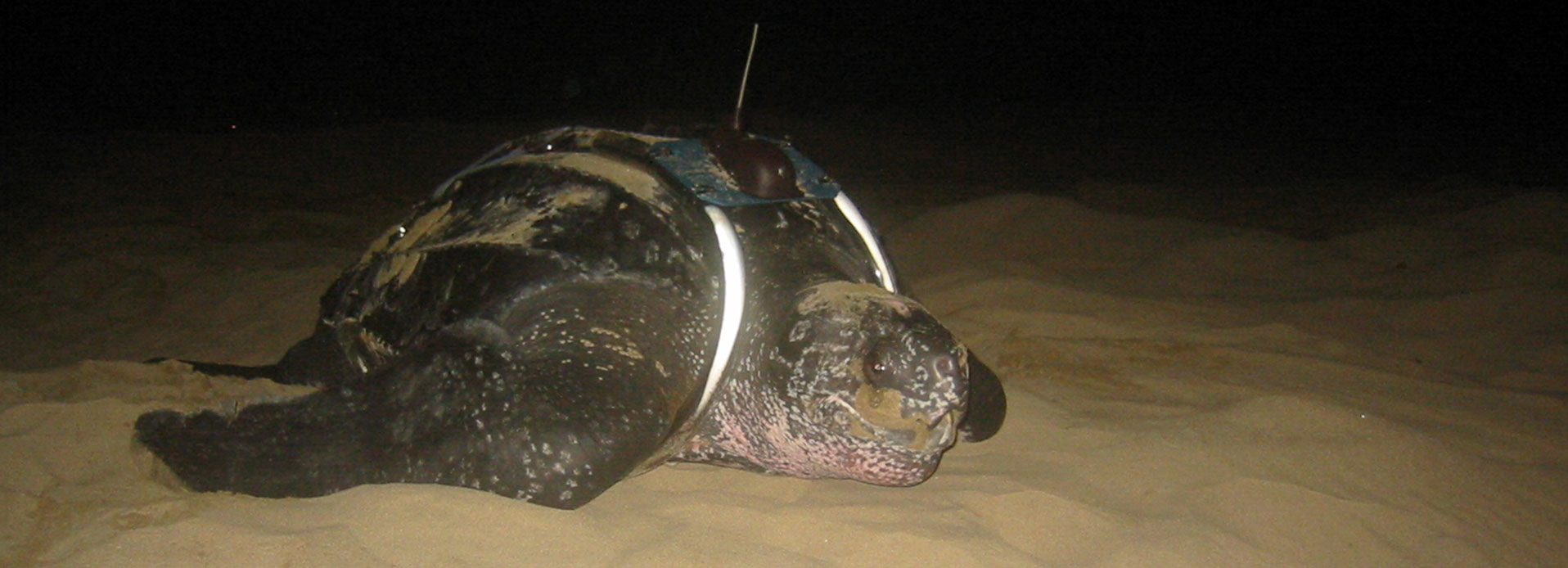
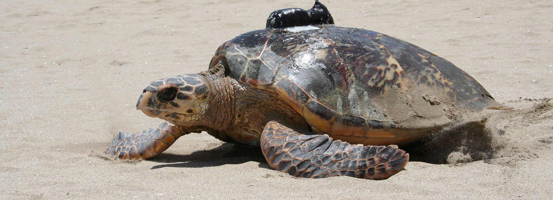
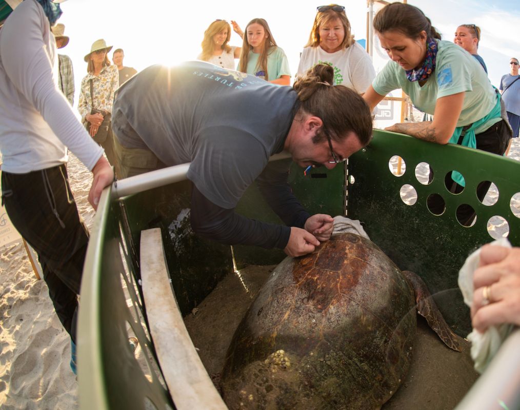
There are currently three common methods to attach a transmitter a sea turtle. Two methods are for all sea turtles, except leatherbacks. The first of these methods uses fiberglass and resin to create a hard cover that goes over the transmitter and attaches to the shell. The second method uses a non-heat epoxy to “glue” the bottom of the transmitter to the turtle’s shell. Because of their unique shell, neither of these methods can be used for a leatherback. Instead, the transmitter is attached directly through the dorsal ridge.
While researchers continue to modify and develop new techniques to reduce any impacts to sea turtles, having a transmitter attached does create some additional drag while the turtle is swimming. Proper attachment methods are designed not to harm the sea turtle, damage its shell or increase the turtle’s chances of being tangled. Researchers have recorded females returning to successfully nest after having a transmitter attached. This suggests that having a transmitter does not impact a sea turtle’s migration, feeding and mating behavior.
You can help support the sea turtle conservation and research efforts of the Sea Turtle Conservancy by becoming a member. As part of your membership you can “adopt” a turtle and you will receive four issues of the STC newsletter, the Velador. You will also receive information about current issues and how you can help protect sea turtles and their habitats!
